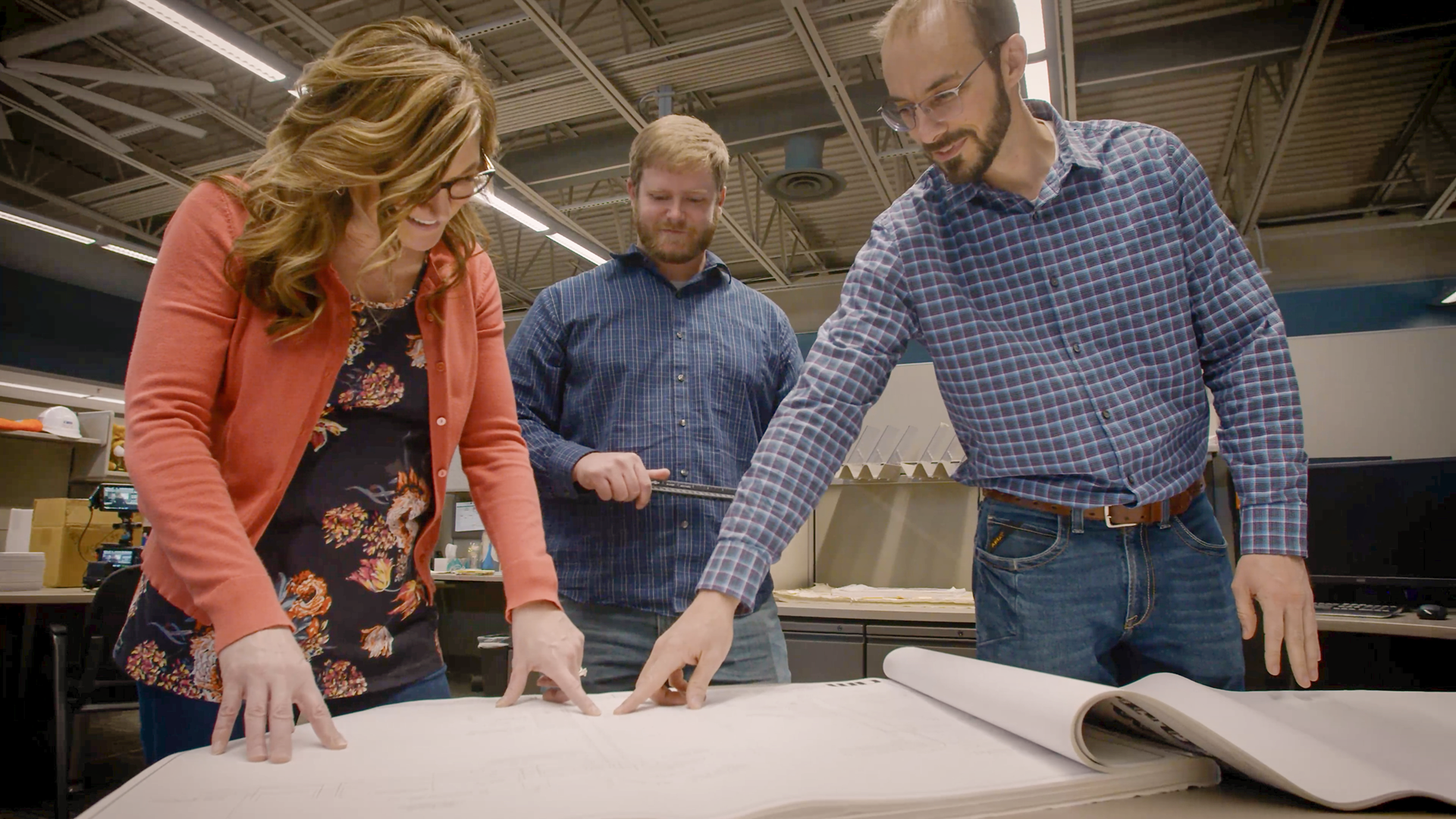
Blog
AM In The AM
A collection of articles written by our staff.
In the final part of our blog series on hydraulic models, we cover the crucial task of allocating water demands. Start by analyzing total water supplied, identify user categories and locations, and assign average demands to system components, incorporating data from GIS or AMI systems as needed.
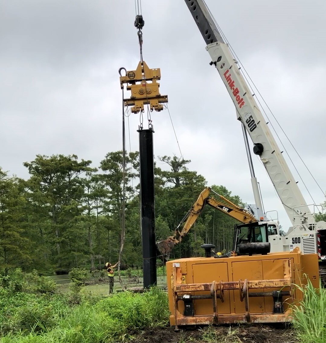
AECC hired Allgeier, Martin and Associates to design a 69kV line through southeast Arkansas. Challenges included crossing swamps with standing water and difficult access. Traditional methods were impractical, so vibratory caissons were used to install poles without extensive excavation. Soil and water depth surveys guided the design, and Dis-Tran Steel manufactured the necessary components. This solution efficiently overcame the swampy terrain and access issues.
Flood forensics involves analyzing high-water marks—evidence left on land and structures after a flood—to reconstruct flood events, assess damage, and improve future flood resistance. Obvious debris lines and subtle sediment marks help determine flood levels and volumes. Timely documentation of these marks is crucial, as they can quickly erode. This information aids in accurate flood modeling and enhances community flood preparedness.
CECC, with Allgeier, Martin and Associates, redesigned a 69 kV line in Arkansas to operate at 161 kV. The project faced challenges like narrow ROWs and existing infrastructure. The team developed a 'needle structure' to fit the conductors within the existing ROW and minimize disruptions, making it the optimal solution for performance and community impact.

In part two of our hydraulic water modeling series, we discuss building the components of a model. Whether using detailed GIS or AutoCAD maps, hard copy maps, or even 'skeletonized' models from the knowledge of system operators, various data sources can help create accurate hydraulic simulations. We explore key elements such as pipes, junction nodes, pumps, and tanks, as well as the importance of topographic data in determining hydraulic grades and system pressures. Stay tuned for part three, where we’ll dive into the critical task of assigning water demands to the model.
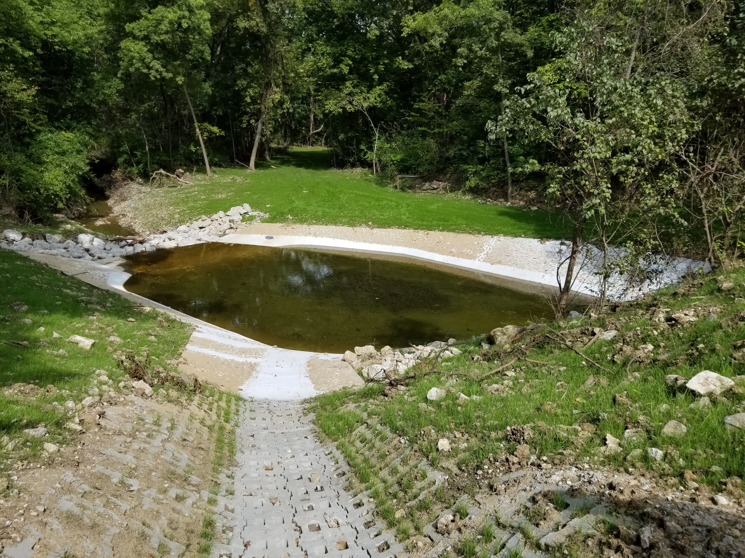
This post explores erosion challenges and solutions along Southeast 3rd Street in Lee’s Summit, MO, where two steep culverts with supercritical velocities caused significant damage. From powerful eddies to massive scour holes, we delve into the different strategies used to tackle erosion at each site. Learn how solutions like rip rap, concrete plunge pools, and articulating concrete block mats were employed to stabilize the roadway embankments and prevent further erosion.

Hydraulic models are essential tools for designing, operating, and optimizing drinking water systems. This post explores how computer models streamline tasks like sizing water mains, analyzing fire flow, and identifying system leaks.
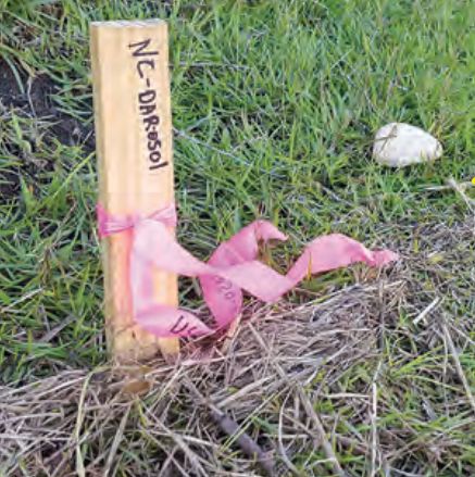
This blog post delves into the unexpected challenges faced during the conversion of a lagoon treatment system into a land application system. When a large deposit of unknown material was uncovered, the project team had to make a tough decision: play it safe or risk serious consequences.
Join the Allgeier Martin team today!
Become part of a dynamic, employee-owned firm that values collaboration and work-life balance. Enjoy a robust benefits package and opportunities for growth. Submit your resume today and take the first step towards an exciting career with us!