Blog • TAG
AutoCAD


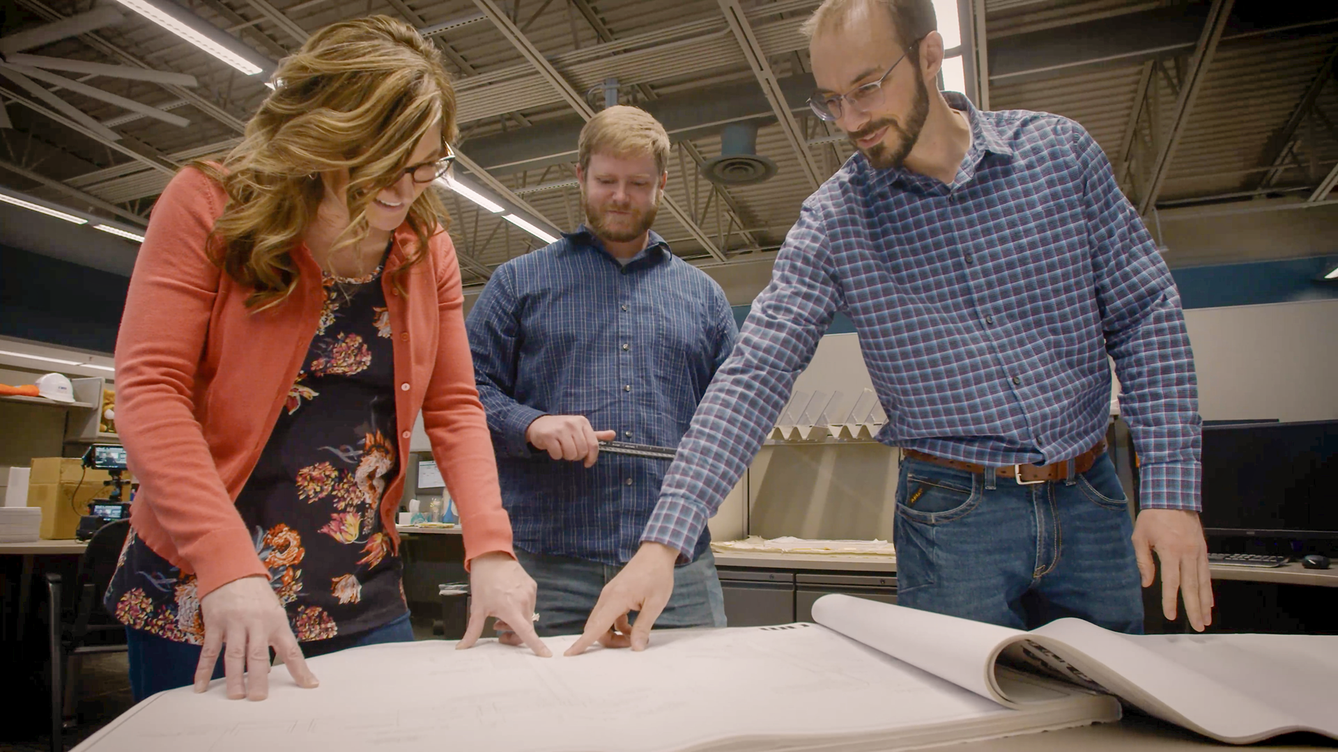
In part two of our hydraulic water modeling series, we discuss building the components of a model. Whether using detailed GIS or AutoCAD maps, hard copy maps, or even 'skeletonized' models from the knowledge of system operators, various data sources can help create accurate hydraulic simulations. We explore key elements such as pipes, junction nodes, pumps, and tanks, as well as the importance of topographic data in determining hydraulic grades and system pressures. Stay tuned for part three, where we’ll dive into the critical task of assigning water demands to the model.
Join the Allgeier Martin team today!
Become part of a dynamic, employee-owned firm that values collaboration and work-life balance. Enjoy a robust benefits package and opportunities for growth. Submit your resume today and take the first step towards an exciting career with us!